by Igor
If you’ve ever even thought about visiting Iceland, you must have heard about the Golden Circle. It’s a famous loop starting and ending in Iceland’s capital, Reykjavík. At about 300 km, it takes at least six to eight hours to drive, but you’ll want much more time, because the route takes you to some of the country’s most iconic sights.
When most people talk about the Golden Circle, the conversation usually revolves around three main locations: Þingvellir National Park, the Geysir geothermal area and Gullfoss. They are all incredible and absolutely a must-see, but after visiting the Golden Circle this June, I’d like to recommend a place unlike any other I saw in Iceland, and one that is easily overlooked: the Brúarfoss hike.
Why Brúarfoss Is the Golden Circle’s Hidden Gem
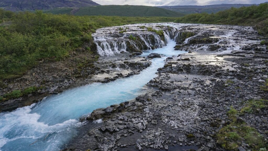
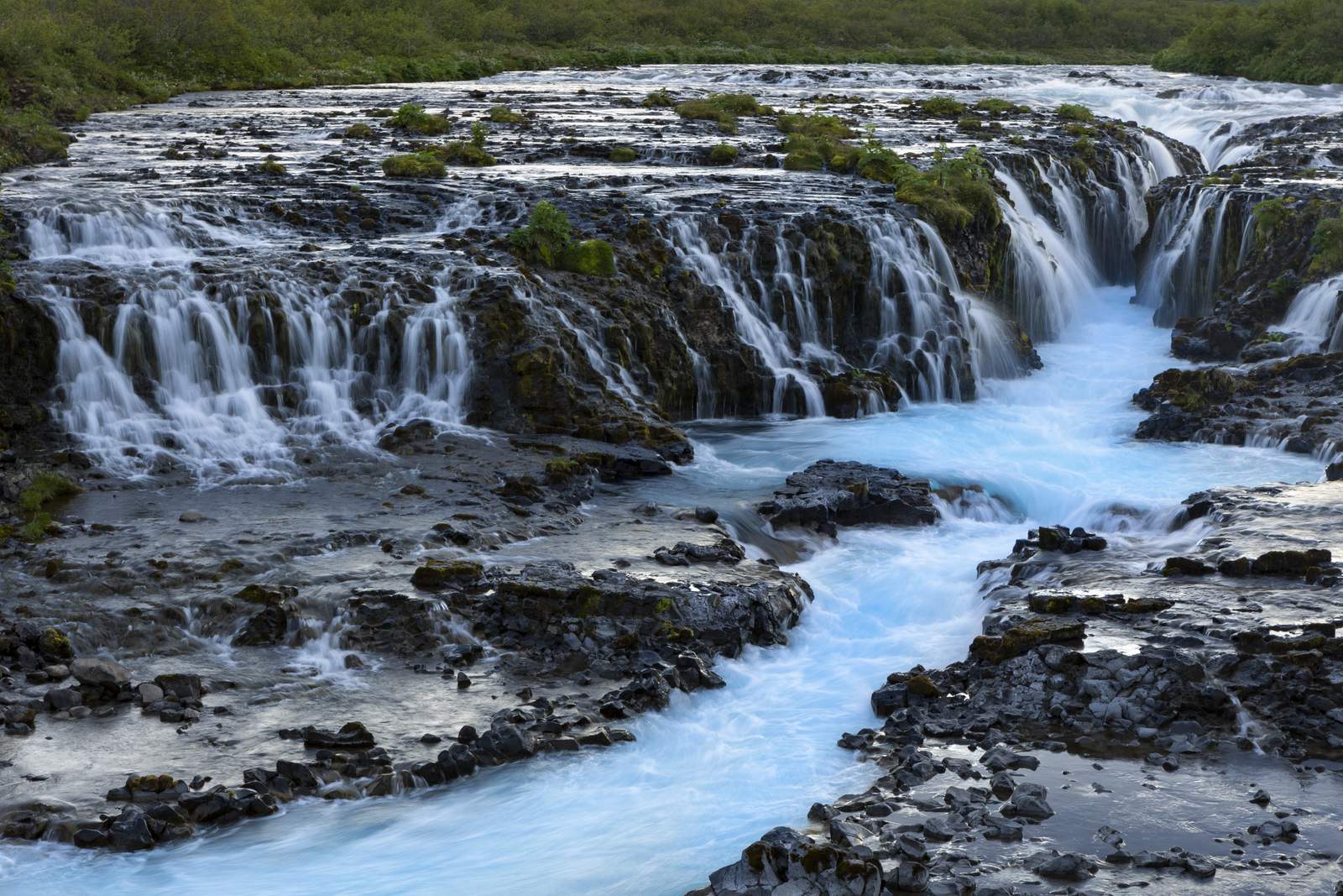
It might not be the largest or the tallest waterfall in Iceland, and it certainly isn’t the easiest one to reach, but that’s exactly what makes it special. While crowds gather at the bigger attractions, Brúarfoss feels quieter, more peaceful and somehow more natural. Its water is an unreal mixture of turquoise and blue, almost as if someone turned up the saturation, and seeing it in person is something photos just can’t fully capture. It’s one of our favourite hidden gems in Iceland.
Getting to Brúarfoss: Two Options
There are two main ways to visit Brúarfoss. Either way, you’ll drive on Road 37 between Laugarvatn and Geysir. If you’re coming from Reykjavík, the distance is around 90 km.
- The quick way: drive directly to the newer Brúarfoss parking area. You’ll see a sign on the main road and reach the car park in minutes. When we visited in June 2026, it was paid parking. From there, it’s less than a 10-minute walk to the waterfall, so it’s simple and easy for almost everyone.
- The hike: start from the old parking area by the bridge on the main road. When we visited, this parking was free. The walk is around 7 km there and back and follows the Brúará river almost the entire way. It isn’t particularly difficult, but it takes around two hours, depending on how often you stop. Trust me, that will be quite often.
I chose the longer way, and I’m really glad I did.
The Brúarfoss Hike from the Old Parking Area
The parking area is next to the bridge and easy to spot from the main road. It’s a good place to take a break, and maybe have a meal, since there’s plenty of space and a view over the river and the mountains behind it.
The trail begins fairly quietly. At first, it feels like you’re simply walking through the Icelandic countryside, with fields stretching into the distance. The path is mostly flat and easy to follow, although there are a few rocky and muddy patches if it has rained recently. Waterproof hiking shoes definitely came in handy during my visit.
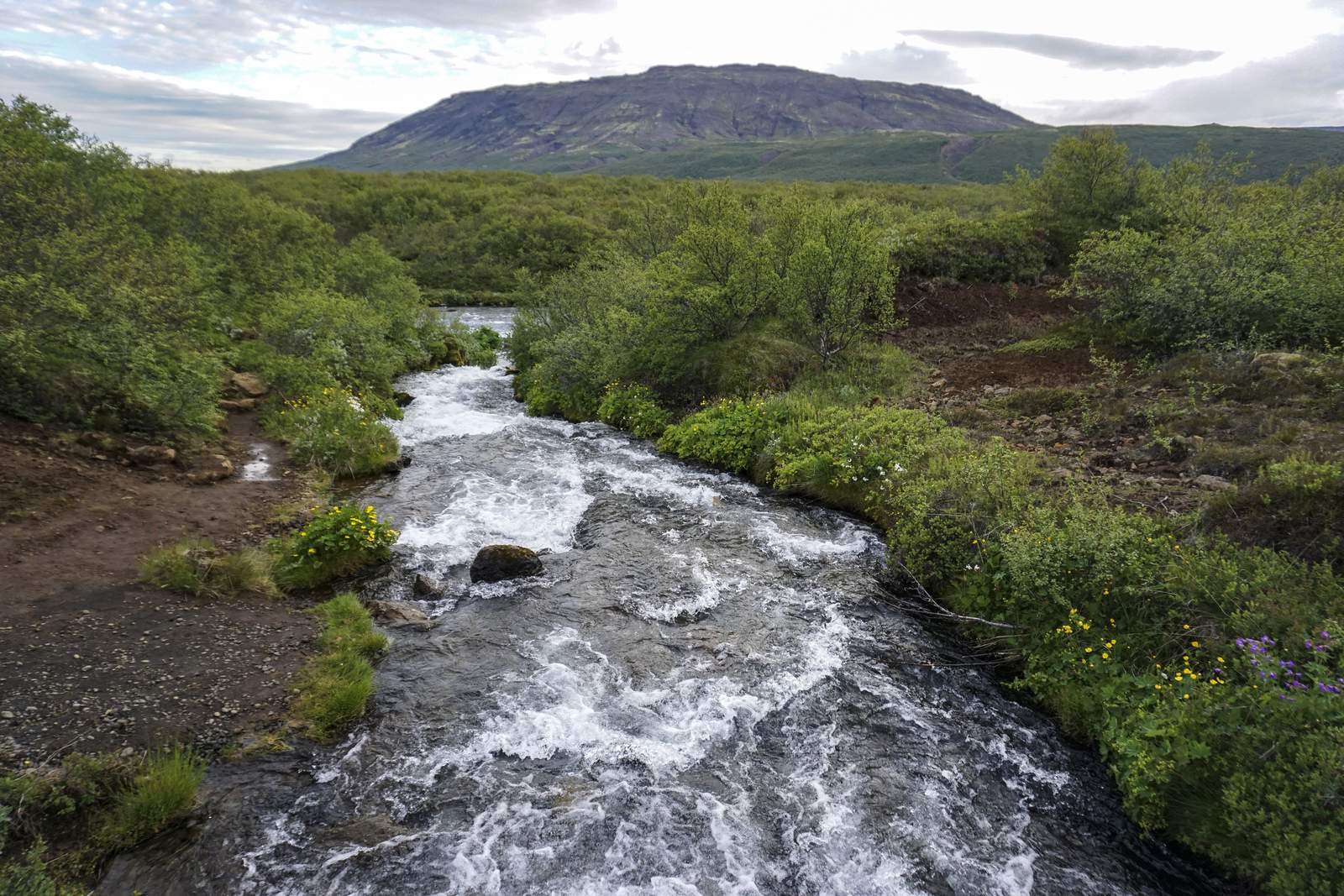
As soon as the river comes back into view, the scenery starts getting better and better. The Brúará river has some of the clearest water I’ve ever seen. Even before you reach the waterfalls, the bright turquoise colour immediately catches your eye.
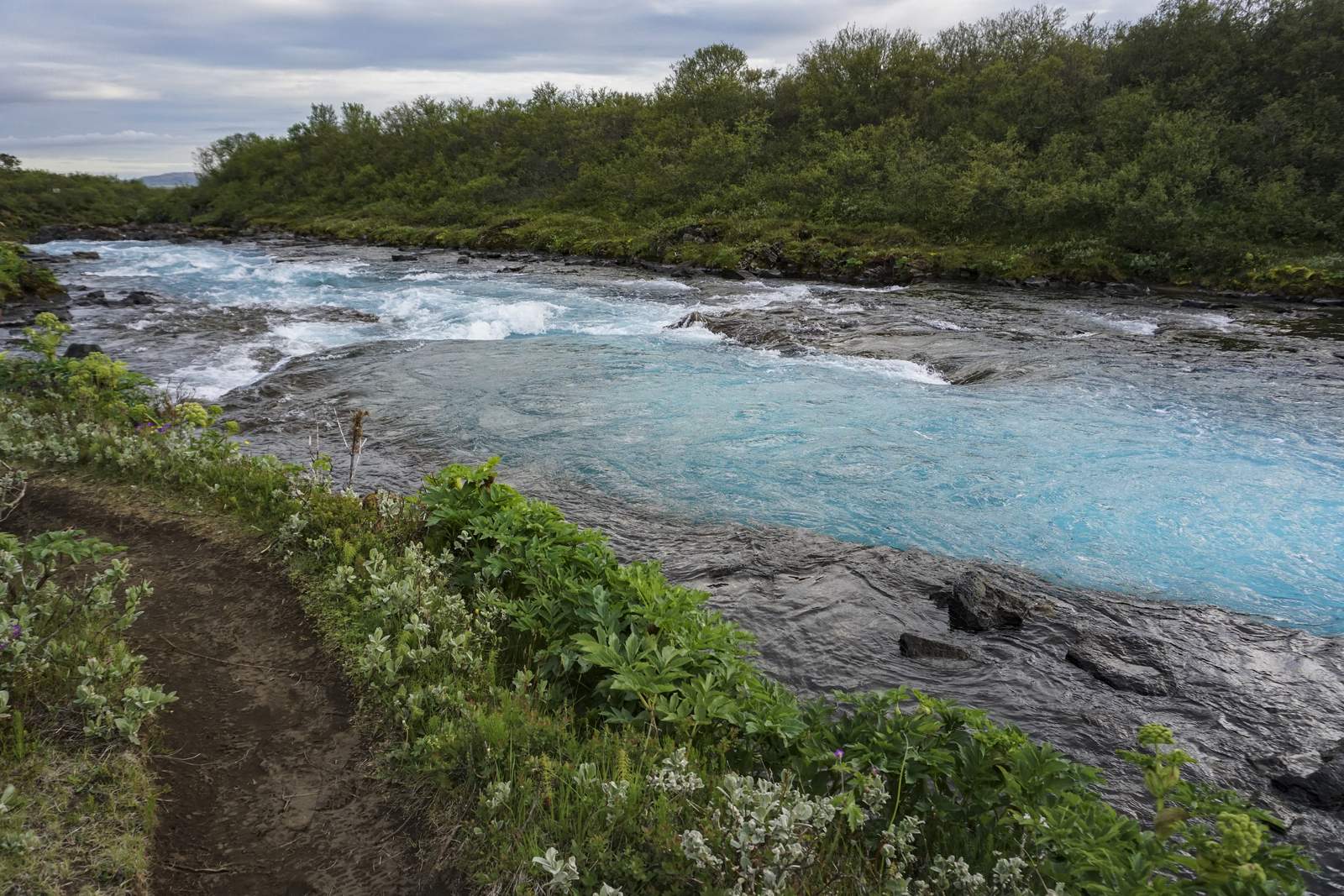
One thing I loved about this hike was how peaceful it felt. Even though June is one of Iceland’s busiest travel months, once I got away from the parking area, there were long stretches where I barely saw anyone else. It felt like I had stumbled upon a secret path.
Hlauptungufoss, Miðfoss and the Other Waterfalls on the Trail
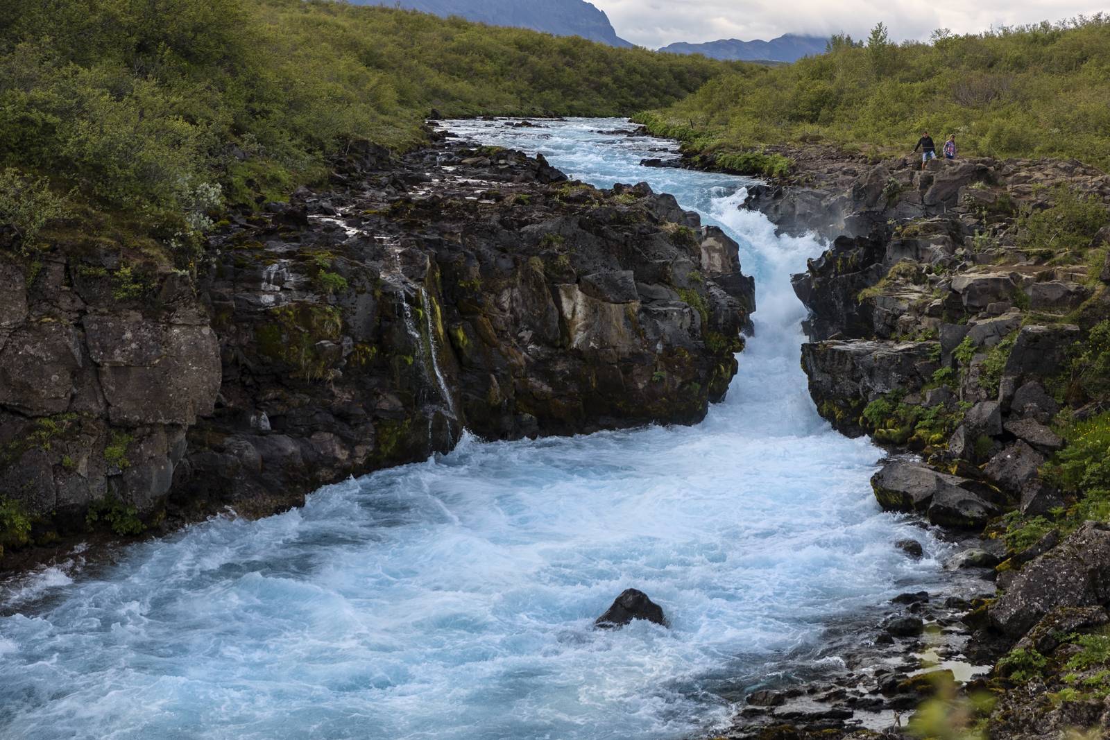
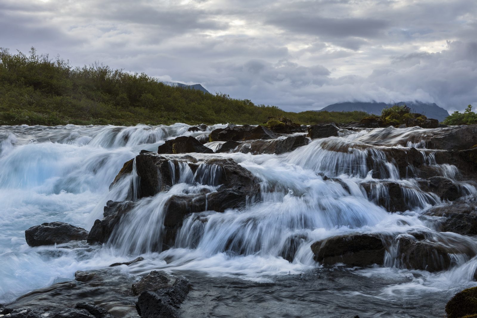
One of the biggest advantages of the longer route is that Brúarfoss isn’t the only waterfall you’ll see. There are two larger waterfalls, Hlauptungufoss and Miðfoss, and a couple of smaller cascades. I spent some time at both waterfalls because there were very few people around. If I had driven straight to Brúarfoss, I would have completely missed these hidden gems.
Stay Safe by the River
The trail constantly follows the river, offering plenty of viewpoints where you can stop for photos or simply enjoy the sound of the rushing water. But be careful: in places you have to respect the rope line and not go too close to the water. A sign says the river has claimed lives in the past, and it’s easy to see how. People get distracted by the amazing view and forget that the rocks can be slippery or unstable, and the river is very cold and fast. There’s a good reason for the life jackets on poles along the way. Check Safetravel.is before any hike in Iceland.
Reaching Brúarfoss
Eventually, you hear it before you see it. As the trail approaches Brúarfoss, the sound of the water grows louder, and suddenly the famous blue waterfall appears in front of you. It looked even better than I expected. There’s a small bridge close by, and you can look at the falls from above the river.
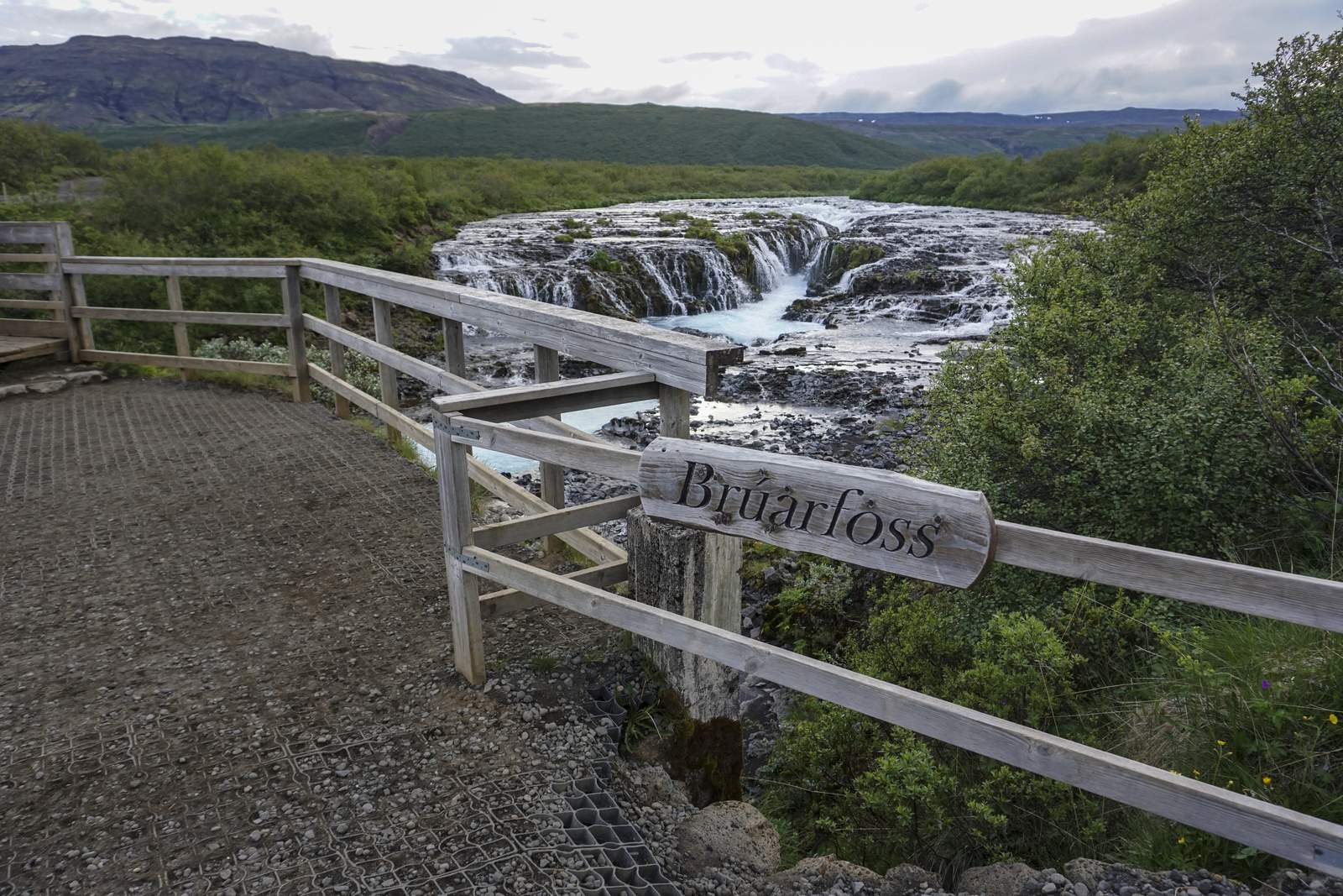
Unlike many waterfalls that drop in one huge curtain, Brúarfoss flows through a narrow gap before crashing into the vivid blue river below. The colour almost doesn’t look real.
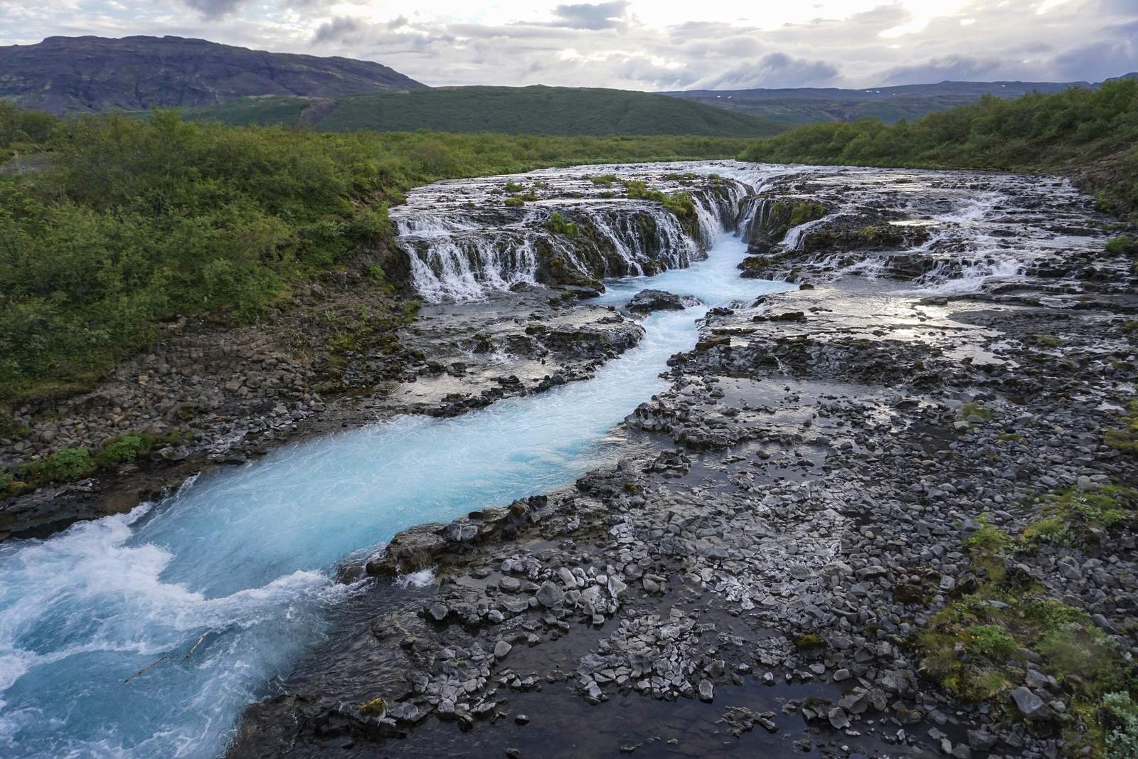
More visitors arrived from the closer car park, but it never felt overcrowded during my visit. People took turns taking photos, admired the view for a while and then continued on their way.
Is the Longer Brúarfoss Hike Worth It?
Yes. Driving to the closer car park is quicker and easier, and if you don’t have enough time, I understand why most people choose it. But the hike completely changes the experience. Instead of simply visiting one waterfall, you get an enjoyable riverside walk, two additional waterfalls, beautiful scenery and a much greater appreciation for the river itself. Plus you get the satisfaction of completing the trail.
Visiting Brúarfoss in June
Visiting in June also turned out to be a great choice. The long daylight hours meant there was no need to rush, everything was lush and green, and the weather was mild enough for a comfortable hike. As everywhere in Iceland, it’s a good idea to bring a waterproof jacket, because the weather can change surprisingly quickly.
Final Thoughts
Before my trip, I wondered whether I should visit Brúarfoss or spend more time at other locations. I don’t regret my choice, and I’d recommend it to everyone. It was not simply another waterfall marked on my Iceland map.
Sometimes it’s the places that require a little extra effort that leave the biggest impression, and Brúarfoss definitely did that for me. The combination of the peaceful riverside hike, the hidden waterfalls along the trail and that unique blue water made it feel like much more than just another sightseeing stop.
FAQ: The Brúarfoss Hike
How long is the Brúarfoss hike?
From the old parking area on Road 37, the hike is about 7 km there and back and takes around two hours, longer if you stop often at Hlauptungufoss and Miðfoss. From the newer parking area, it’s less than a 10-minute walk.
Is there parking at Brúarfoss?
Yes, there are two car parks. The newer one close to the waterfall was paid when we visited in June 2026, and the old one by the bridge on the main road was free. Prices and rules can change, so check the signs when you arrive.
Is the Brúarfoss hike difficult?
No. The path is mostly flat and easy to follow, with a few rocky and muddy patches after rain. Waterproof shoes help, and stay behind the rope lines near the river.
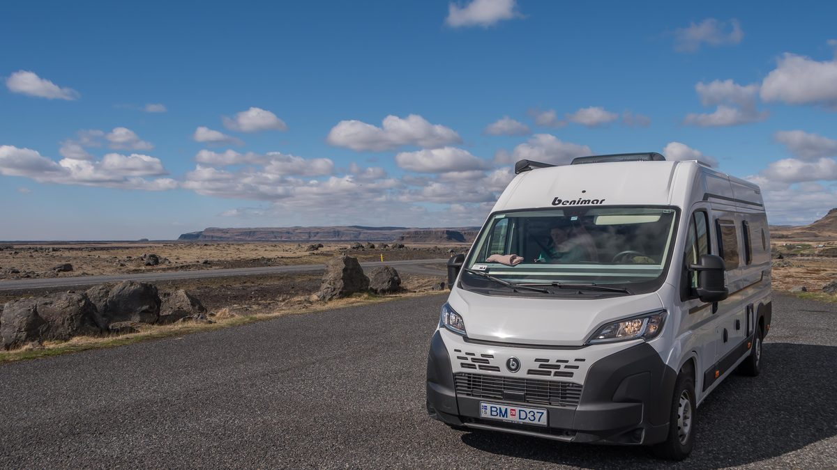
Explore the Golden Circle by Campervan
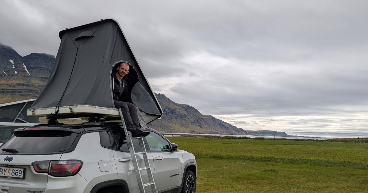
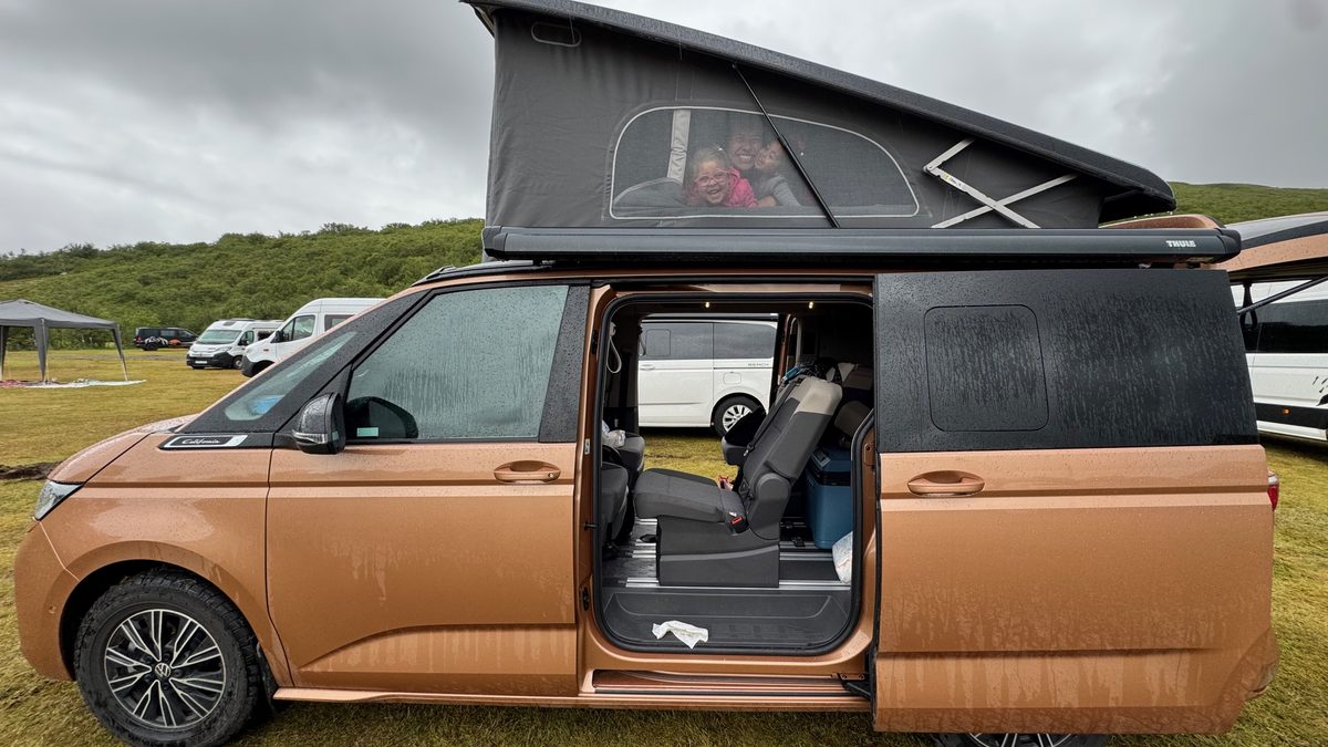
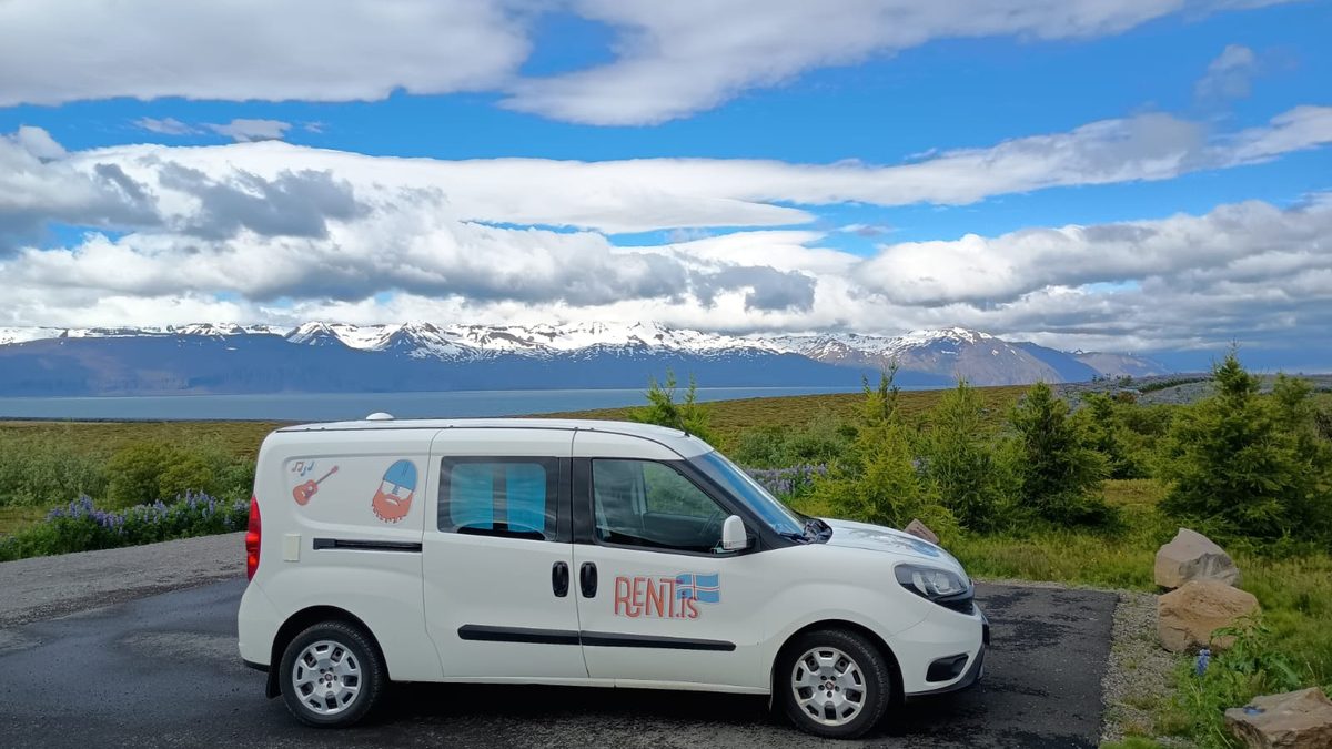
A campervan lets you take the long way to places like Brúarfoss, stop for lunch at the trailhead with a view of the river, and stay at nearby campsites around Laugarvatn and the Golden Circle. Rent.is has Iceland’s largest campervan fleet, with free 24/7 pickup just five minutes from Keflavík Airport.