
Snæfellsnes travel guide key highlights:
- Is the Snæfellsnes Peninsula worth visiting?
- How to get to the Snæfellsnes Peninsula from Reykjavík
- How long do you need: 1 day vs 2 days
- Snæfellsnes Peninsula map and self-drive route
- Things to do in Snæfellsnes Peninsula
- Best places for camping on the Snæfellsnes Peninsula
- Do you need a 4×4 camper van for the Snæfellsnes Peninsula?
- Driving and safety tips for the Snæfellsnes Peninsula
- Camper van vs hotels vs guided tours
- Driving back to Reykjavík
- FAQs
The Golden Circle and the Ring Road often get most of the attention, but Iceland’s most underrated drive is a loop around the Snæfellsnes Peninsula (also spelled Snaefellsnes Peninsula). In roughly 174 miles (280 km), you’ll cross dramatic mountain passes, walk into an 8,000-year-old lava tube, stand on a black sand beach where Vikings once hauled in their catch, and watch the Atlantic roll in toward the foot of a glacier. This peninsula packs nearly everything Iceland has to offer into one compact, highly drivable route — and it’s perfectly set up for a camper van road trip.
This guide covers everything you need to plan a Snæfellsnes Peninsula camping trip by camper van: how long to allow, the best route from Reykjavík, where to camp, which stops to prioritize, whether you need a 4×4, and how to stay safe on the road.
Snæfellsnes Peninsula at a Glance
| Distance from Reykjavík | ~47 miles (76 km) to the start of the peninsula via the Hvalfjörður tunnel |
| Full loop distance | ~174 miles (280 km) around the peninsula |
| Drive time (loop only, no stops) | Approx. 4–5 hours |
| Recommended trip duration | 2 days for a comfortable camper van trip |
| Best time to visit | June–September for campsite access and road passability |
| 4×4 required? | No — for the main summer route (Roads 54 and 574). Yes — for mountain passes and F-road exploration |
| Key towns | Hellissandur, Ólafsvík, Grundarfjörður, Stykkishólmur |
| Top stops | Kirkjufell, Djúpalónssandur, Vatnshellir Cave, Arnarstapi, Hellnar, Stykkishólmur |
| Campsites | Multiple along the route — see camping section below |
| Ferry connection | Stykkishólmur → Flatey Island → Westfjords (Baldur ferry) |
Is the Snæfellsnes Peninsula Worth Visiting?
Yes — especially for camper van travelers doing a Ring Road or West Iceland route.
The Snæfellsnes Peninsula is one of Iceland’s most varied and drivable regions, and it rarely feels as crowded as the south coast or Golden Circle. Within a single day’s drive, you can see a glacier-capped volcano, ancient lava fields thick with moss, coastal rock formations, black and yellow sand beaches, picturesque fishing villages, and Iceland’s most photographed mountain. It also connects naturally to the Westfjords via ferry from Stykkishólmur — making it an easy add-on if you’re planning a longer Iceland road trip.
Think of it this way: the south coast of Iceland is essentially one long highlight reel heading east from Reykjavík. The Snæfellsnes Peninsula is that — but in a loop, with more variety, fewer tour buses, and a glacier that Jules Verne made famous as the entrance to the center of the earth.
When you might skip it: If you’re on a tight schedule (3 days or fewer in Iceland total) and haven’t yet done the south coast, prioritize that first. But if you have 5 or more days and a camper van, Snæfellsnes is almost always worth the detour.
How to Get to Snæfellsnes Peninsula from Reykjavík
From Reykjavík, head north on the Ring Road (Route 1). You have two options to reach the peninsula:
Via the Hvalfjörður tunnel (recommended, faster): The tunnel runs beneath the Hvalfjörður fjord and cuts significant time off the drive. After approximately 47 miles (76 km) on the Ring Road, take a left at the traffic circle in Borgarnes onto Road 54 (Snæfellsvegur). This is your entry point to the peninsula.
Via Hvalfjörður (scenic, slower): You can skip the tunnel and drive around the fjord instead. It adds about 30–45 minutes, but the scenery is beautiful — a solid choice if you’re not in a hurry and want to ease into the drive.
From the Borgarnes traffic circle, the full loop around the peninsula is approximately 174 miles (280 km). Allow at least half a day for the drive alone — more realistically, a full day or two once you start stopping.
Tip for camper van travelers: Gas up in Borgarnes before turning onto Road 54. Gas stations get more spread out the further west you go. Check current fuel prices in Iceland before you head out.
How Long Do You Need? 1 Day vs 2 Days on Snæfellsnes Peninsula
1-Day Itinerary (from Reykjavík)
A day trip to Snæfellsnes Peninsula is doable but involves a long day of driving. You’ll need to be selective about where you stop.
| Time | Stop |
|---|---|
| 7:00 AM | Depart Reykjavík |
| 9:00 AM | Eldborg Crater (optional short hike) |
| 10:30 AM | Arnarstapi & Hellnar coastal walk |
| 12:30 PM | Vatnshellir Cave tour |
| 2:00 PM | Djúpalónssandur black sand beach |
| 4:00 PM | Kirkjufell & Kirkjufellsfoss |
| 6:00 PM | Begin return to Reykjavík |
| 8:00–9:00 PM | Arrive back in Reykjavík |
This is a full day with little breathing room. You’ll miss Stykkishólmur, Berserkjahraun, and the quieter north coast villages — but you’ll cover the peninsula’s main highlights.
2-Day Camper Van Itinerary (recommended)
Two days lets you drive the full loop comfortably, camp overnight, and explore at a pace that actually feels like a vacation.
| Day | Morning | Afternoon | Overnight |
|---|---|---|---|
| Day 1 | Reykjavík → Eldborg Crater → Gerðuberg columns → Arnarstapi & Hellnar | Vatnshellir Cave → Djúpalónssandur → Hellissandur | Camp at Hellissandur or Ólafsvík |
| Day 2 | Kirkjufell & Kirkjufellsfoss → Grundarfjörður → Bjarnarhöfn shark museum | Berserkjahraun → Stykkishólmur (optional: Flatey Island ferry) → return via Road 54 | Return to Reykjavík or continue to the Westfjords |
Heading to the Westfjords? Instead of returning to Reykjavík on day 2, take the Baldur ferry from Stykkishólmur. It stops at Flatey Island before continuing across and is a great way to extend your Iceland road trip. See our Westfjords travel guide for what to expect.
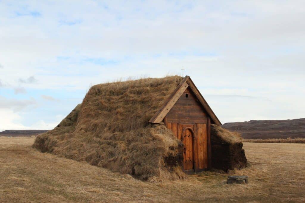
Snæfellsnes Peninsula Map & Self-Drive Route
The main driving route for a Snæfellsnes Peninsula self-drive follows Road 54 from Borgarnes along the south side of the peninsula, turning onto Road 574 at the western tip, then continuing north through Hellissandur and Ólafsvík before heading east toward Grundarfjörður and Stykkishólmur. From there, Road 54 or Road 55 takes you back east toward Reykjavík.
Three mountain passes cut across the spine of the peninsula between the north and south coasts — none are classified as F-roads, which means they’re accessible without a 4×4 in good conditions. They can close in winter and early spring, however. Always check road conditions before attempting a crossing (see safety section below).
Key roads on the Snæfellsnes Peninsula map:
- Road 54 (Snæfellsvegur): Main route along the south side, from Borgarnes to Stykkishólmur
- Road 56 (Vatnsvegur): Mountain pass cutting north, passing Baulárvallavatn and Hraunsfjardarvatn lakes
- Road 574: Western tip of the peninsula — Arnarstapi, Hellnar, Vatnshellir, Djúpalónssandur, Hellissandur
- Road 55: Return route east along the north coast — scenic but poorly maintained; verify conditions before using
Navigation tip: Google Maps and maps.me both work well for navigating the Snæfellsnes Peninsula, but download an offline map before you leave Reykjavík — cell service can be patchy on the west coast and mountain roads.
Things To Do in Snæfellsnes Peninsula
Here are the best stops on the peninsula, roughly in order as you drive the route from Borgarnes.
Eldborg Crater
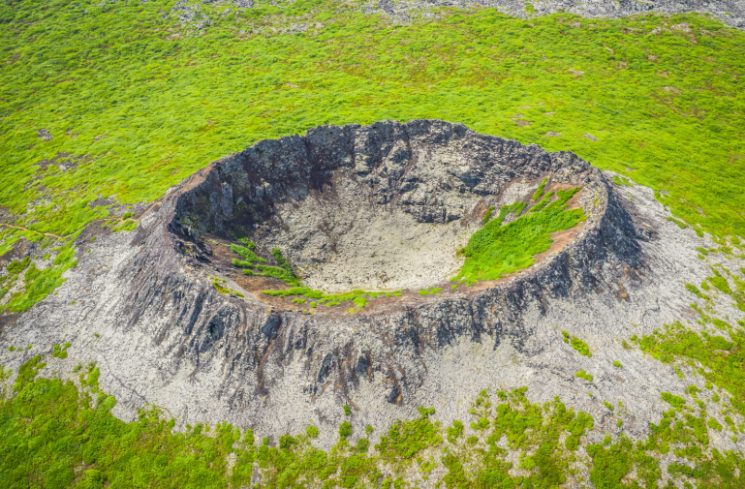
Shortly after leaving Route 1, a sign at Snorrastaðir points left toward Eldborg crater. From the parking area, it’s a 1.5-mile (2.5 km) walk to the rim. Rising roughly 200 feet (60 meters) from the surrounding lava fields, Eldborg looks almost like a natural fort from a distance — easy to see why Viking clans fought over this territory. You can walk the rim and peer down inside.
A few minutes further along Road 54, watch for the Gerðuberg basalt columns on your right — a dramatic wall of hexagonal rock formations, similar in style to the Giant’s Causeway in Northern Ireland. It’s worth the short 1.2-mile (2 km) detour.
Hraunsfjarðarvatn
Continuing west on Road 54, you’ll soon reach a gas station on your right — this is also where you turn off onto Road 56 (Vatnsvegur) if you want to cut north through the mountains. It’s a scenic alternative route between the south and north coasts, and well worth taking.
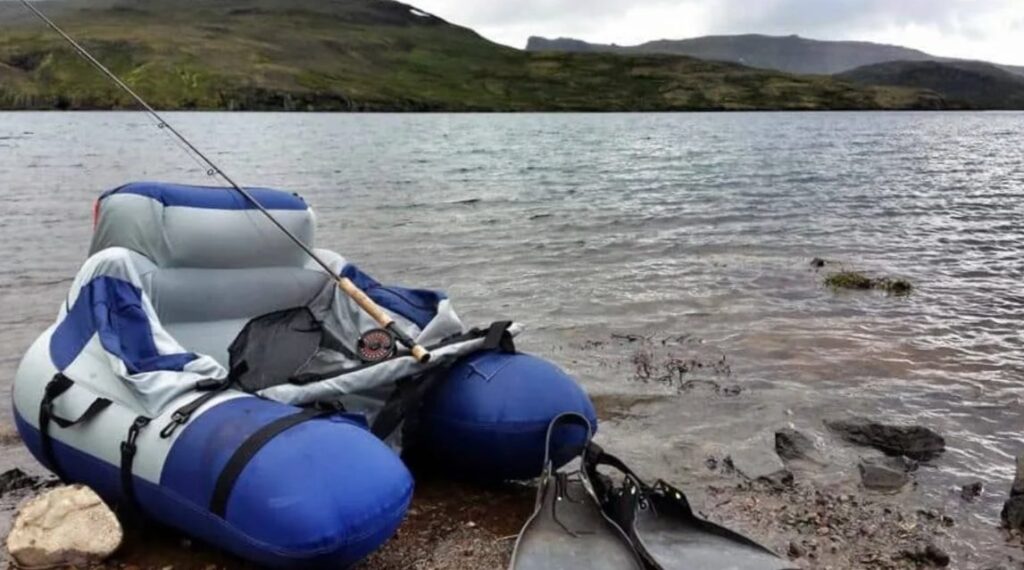
As you cross the pass, you’ll see Lake Baulárvallavatn on your left — a beautiful spot in its own right. Further along, the road passes close to a second lake, Hraunsfjarðarvatn. The water is crystal clear, ice cold, and very deep, and the area has an almost otherworldly stillness to it — remote and quiet in a way that feels miles from civilization, even though you’re just off the road. There’s a strong sense of natural history here; it’s easy to see why the old Viking sagas were set in landscapes like this. The surrounding area is great for hiking, though it’s rugged terrain, so come prepared.
If you’re into fishing, pick up a license at the gas station back on Road 54 before you turn off — brown trout are plentiful in these lakes. Read more in our guide to fishing in Iceland. As with all mountain passes, check road.is before heading out, as drifting snow can occasionally make the crossing challenging.
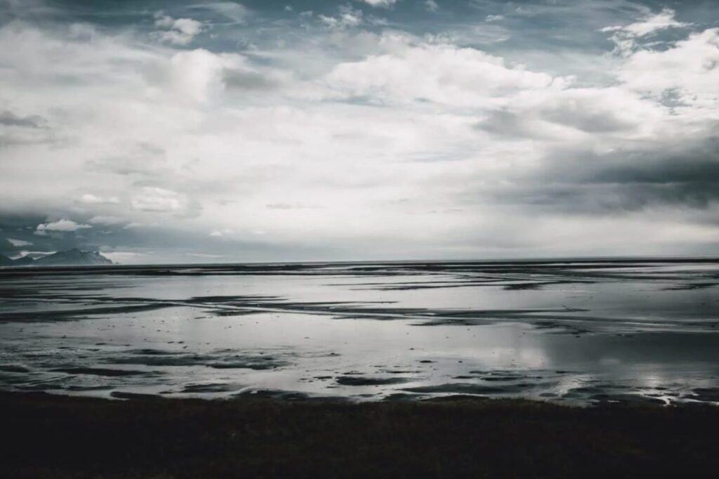
If you choose to stay on Road 54 instead, there’s plenty to stop for along the way. Look out for Ölkelda, a natural mineral spring on the roadside — a good opportunity to top off your water supply. The drive is scenic throughout, with mountains on one side and the ocean appearing in flashes to the south. The south coast also hides some spectacular beaches down side roads — a 4×4 camper van gives you the freedom to explore them without having to turn back. The road eventually crosses another mountain pass — straightforward in summer but prone to snow closures in winter, so check road.is before heading out in shoulder season. At the junction on the far side, follow the signs left onto Road 574 toward Hellnar and Arnarstapi. Take that turn — it’s where some of the best stops on the peninsula are waiting.
Arnarstapi and Hellnar
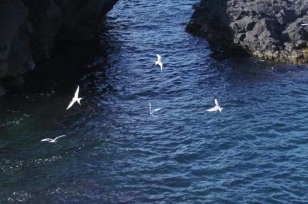
Turn left at the junction onto Road 574 to reach Arnarstapi and Hellnar, two of the most atmospheric stops on the Snæfellsnes Peninsula. Arnarstapi has a working natural harbor, a campsite, and a coastline full of lava arches, sea caves, and ravines. If you visit during the Arctic tern nesting season, keep a stick raised above your head — they will absolutely dive-bomb you otherwise. They’re protecting their eggs, and they mean business.
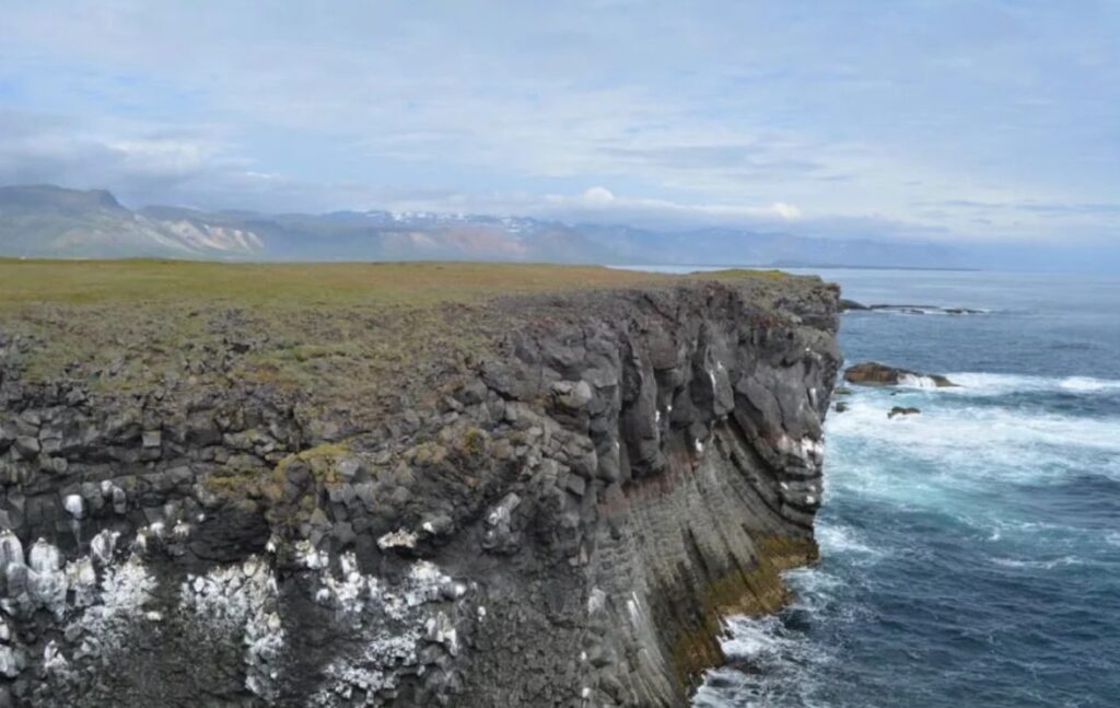
From Arnarstapi, you can walk the coastal path to Hellnar — one of the best short hikes on the peninsula, passing powerful rock formations and sea caves. You can also drive. At Hellnar, look for Báðstofa cave, visible from the small waterfront café. That café, by the way, feels more like something you’d find on the Mediterranean coast than in Iceland — worth a stop for coffee and a bite. A freshwater spring near the water is dedicated to the Virgin Mary and said to have appeared here; the water is delicious.
Vatnshellir Cave
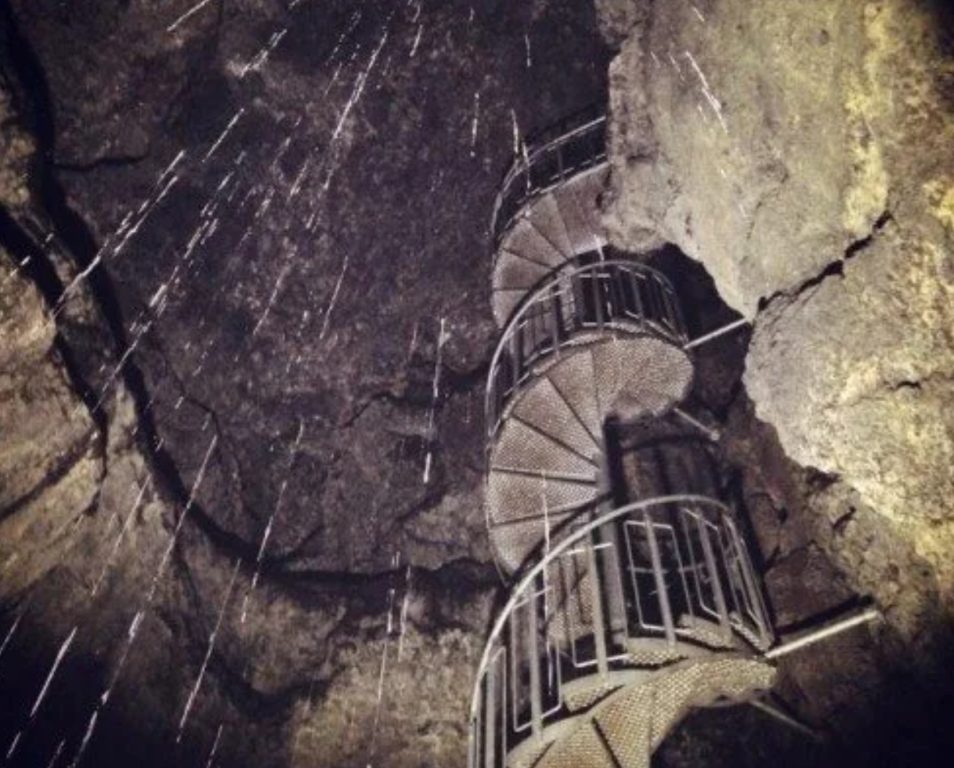
Continue west along Road 574, and you’ll reach the Vatnshellir lava tube — an 8,000-year-old cave that descends 115 feet (35 meters) into the earth and extends 650 feet (200 meters) underground. The cave sits on the southern slopes of Snæfellsjökull glacier, right by the roadside, making it an easy stop on the route.
Guided tours run during high season; you’ll be given a helmet and flashlight. Verify current tour times and availability before visiting, as schedules vary. The glacier itself inspired Jules Verne to set the entrance to the center of the earth right here — and standing at the mouth of the cave, it’s not hard to see why. You’ll have to decide for yourself whether he was onto something.
Djúpalónssandur – Drítvík
A left turn off Road 574 leads to Djúpalónssandur — a black sand beach that was once a busy fishing harbor and is now one of the most striking and haunting spots on the peninsula.
Four lifting stones on the beach were used historically to test the strength of fishermen before they could join a crew: Fullsterkur (Full Strength, 340 lbs / 154 kg), Halfsterkur (Half Strength, 220 lbs / 100 kg), Halfdrattingur (Weakling, 119 lbs / 54 kg), and Amlodi (Useless, 51 lbs / 23 kg). Which one can you lift?
A coastal path leads north to the smaller cove of Dritvík. On the hillside above, look for the curious stone maze — easy to miss if you’re not paying attention.
Hellissandur and Skardsvík Beach
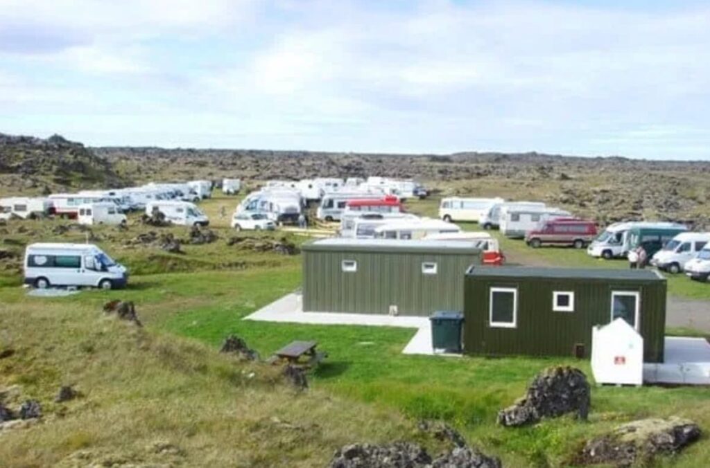
As Road 574 curves north around the tip of the peninsula, take Road 579 toward Öndverðarnes to reach Skardsvík — a rare yellow sand beach on Iceland’s Atlantic coast and one of the most underrated spots on the whole route. It makes a great lunch spot
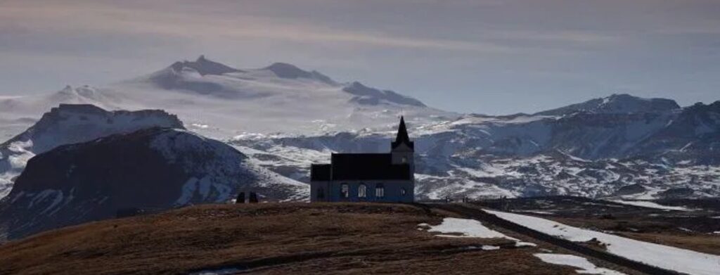
Nearby stands one of Iceland’s oldest concrete churches, built in 1903, with a spectacular glacier backdrop and sweeping views in every direction — the barren lava fields to the south, and the wide open North Atlantic to the west. During summer, some of Iceland’s best whale watching tours depart from the nearby town of Ólafsvík, so if that’s on your list, this is the place to base yourself for a morning out on the water.
This part of the peninsula sees far fewer visitors than the south side — expect peace and quiet. The town of Hellissandur has a campsite and is a solid overnight stop on a two-day loop.
Kirkjufell
Iceland’s most photographed mountain doesn’t need much of an introduction. Kirkjufell rises sharply above the town of Grundarfjörður on the north coast, and the small waterfall Kirkjufellsfoss in the foreground makes for one of Iceland’s most iconic shots. If you’ve seen it in a travel photo or on Game of Thrones, this is where it was taken. Go early in the morning or in the evening to beat the crowds and get better light.
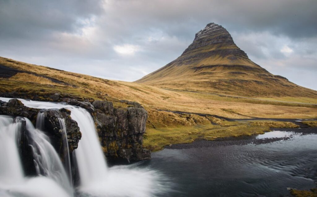
It’s only a 30-minute drive between Hellissandur and Grundarfjörður, but the landscape shifts constantly — don’t rush it.
Bjarnarhöfn Shark Museum
After Grundarfjörður, turn left onto Road 577 — look for the giant steel shark sculpture on your left. A short drive further, signs point to Bjarnarhöfn, home to one of Iceland’s best-known producers of hákarl (fermented Greenlandic shark). There’s a museum, the facility is open to visitors, and yes, you can try a piece. The smell alone is an experience. We dare you.
Berserkjahraun
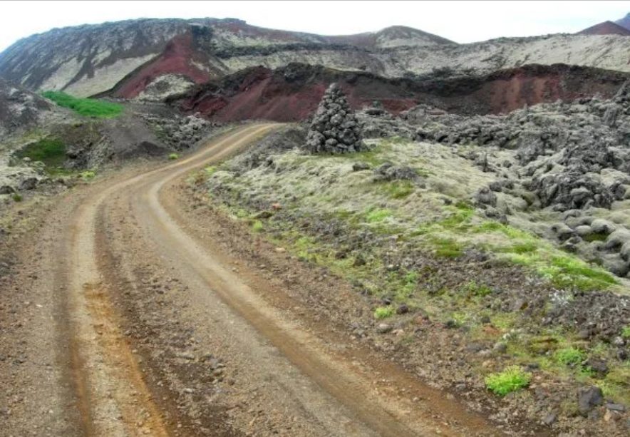
Right across from the shark museum turn-off is Berserkjahraun — one of the peninsula’s most memorable lava fields. Moss-covered hills and frozen lava channels create a maze-like, eerie landscape unlike anything else on the route. The name refers to the Berserkers, a Viking family notorious for losing control in battle — widely considered the origin of the English word “berserk.”
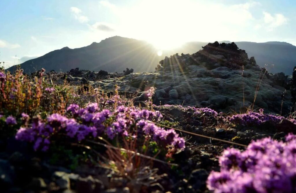
Just before you reach the turn-off, you’ll pass Hraunsfjörður — a beautiful lake with an abundance of Arctic char. If you’ve picked up a fishing license, it’s a great spot to cast a line. Even if fishing isn’t your thing, it’s worth pulling in for lunch — the setting alone makes it worthwhile. Check our guide to fishing in Iceland for everything you need to know about licenses and what to expect.
Ytri Tunga and Budir
Along the south coast, Ytri Tunga beach is one of Iceland’s best spots to see wild harbor seals year-round — they haul out on the rocks and are completely unfazed by visitors. Budir offers a striking black church against a backdrop of lava fields and mountains — a favorite photography stop.
Stykkishólmur
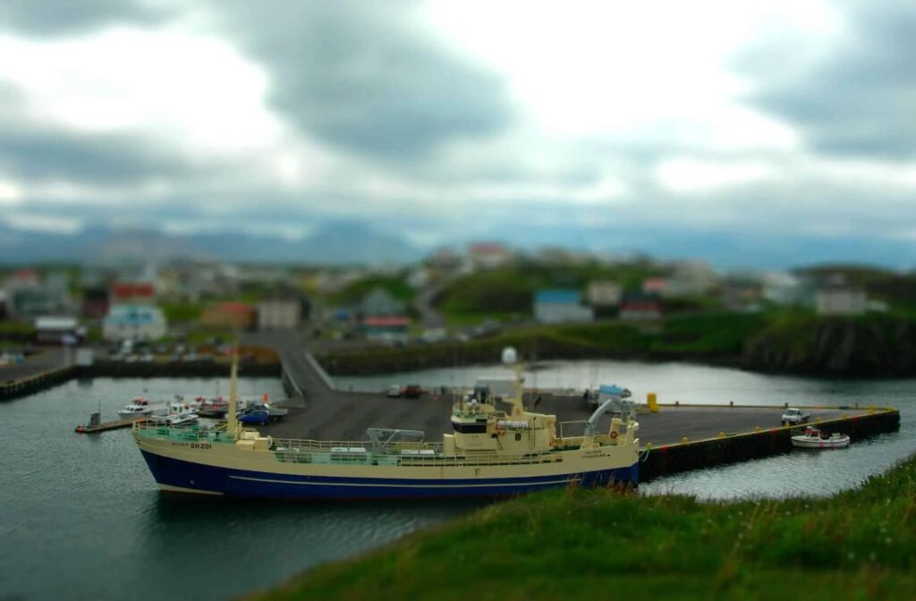
The largest town on the peninsula, Stykkishólmur, has everything you’d need: a large campsite (popular with Icelandic families too), swimming pool, restaurants, a grocery store, horseback riding, and a golf course. It’s also where the Baldur ferry departs for Flatey Island and the Westfjords.
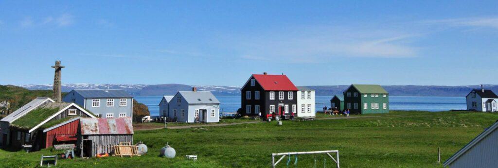
Flatey Island
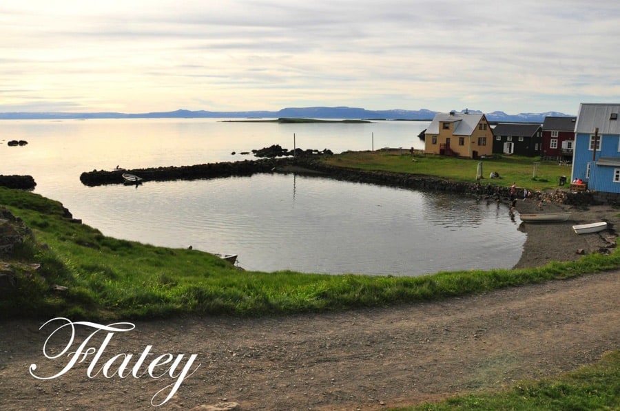
A day trip to Flatey is one of the most quietly special experiences on this whole route. The morning ferry from Stykkishólmur crosses to Flatey before continuing to the Westfjords; on the return journey, it stops at Flatey to pick up passengers. The island is tiny, car-free, and genuinely unhurried. The hotel kitchen grows much of its own produce — including edible flowers — and the food reflects that care.
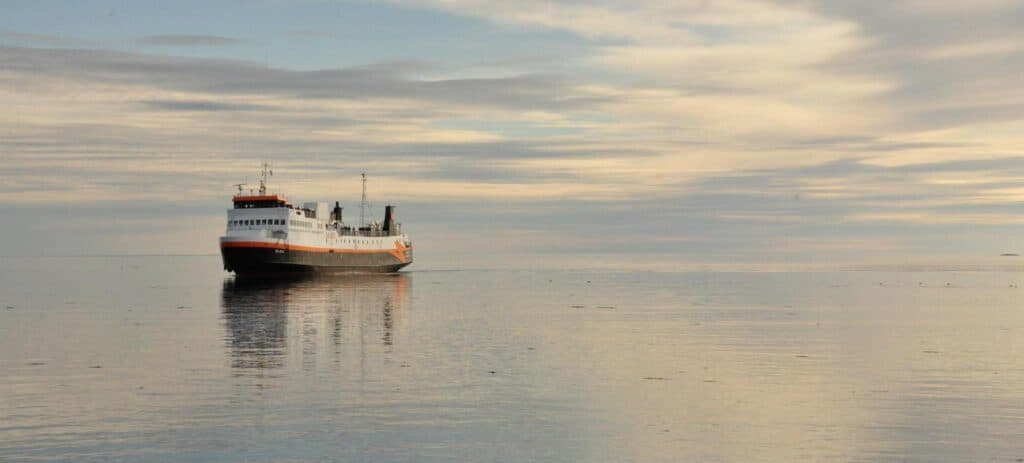
Confirm current ferry schedules with Ferjuleiðir (formerly Seatours) before planning your visit, as times vary by season. If you’re continuing to the Westfjords, you can take the ferry with your camper van.
Best Places for Camping on Snæfellsnes Peninsula
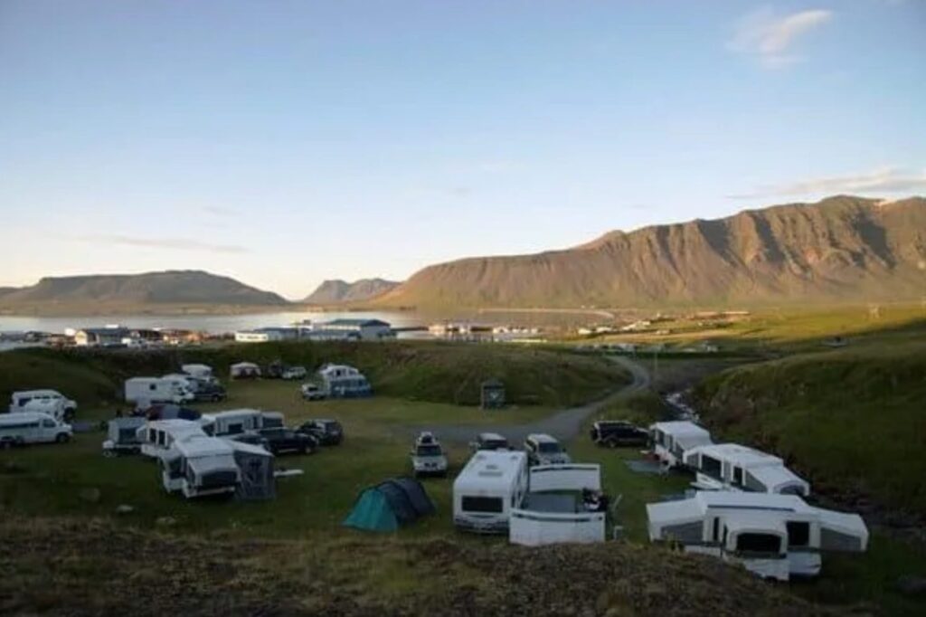
Camping on Snæfellsnes Peninsula is one of the best ways to experience the route — you’ll wake up to glacier views, empty beaches, and mountain air that doesn’t exist anywhere else. Here’s an overview of the main campsite options.
Always verify opening dates, fees, and current conditions before arrival, as details change between seasons.
| Campsite | Location | Facilities | Notes |
|---|---|---|---|
| Arnarstapi Campsite | Arnarstapi, south coast | Basic | Great base for the Hellnar coastal walk. Open from May to September. |
| Hellissandur Camping Ground | Hellissandur, the west tip | Standard | Quiet, good glacier views |
| Ólafsvík Campsite | Ólafsvík, north coast | Good | Close to whale watching departures |
| Grundarfjördur Campsite | Grundarfjördur, north coast | Full facilities | Walking distance to Kirkjufell, great for families |
| Stykkishólmur Campsite | Stykkishólmur, east | Full facilities, large | Best overall services on the peninsula |
| Hraunsfjarðarvatn Lake | Road 56, mountain area | None | 4×4 access recommended; no facilities available, pack everything in/out |
For a full map of campgrounds across Iceland, see our Iceland campground map and guide to campsites in Iceland.
Save money on camping in Iceland: The Iceland Camping Card gives you unlimited stays at over 170 campsites across the country for a flat fee — potentially saving you a significant amount over a multi-day trip. See how the Iceland Camping Card works and whether it’s worth it.
Do You Need a 4×4 Camper Van for Snæfellsnes Peninsula?
For the main summer route: no. Roads 54, 574, and the main coastal circuit are paved and passable in a standard 2WD camper van from roughly June through September.
A 4×4 camper van is useful if you plan to:
- Cross the mountain passes in shoulder season (late May or October)
- Drive Road 55 on the north coast return (poorly maintained; check conditions before committing)
- Explore gravel side roads via Road 56
- Visit in winter — snow and ice make a 4×4 strongly advisable across the whole peninsula
In winter: Road conditions can close mountain passes and affect coastal roads without much warning. A 4×4 camper van with proper tires gives you significantly more flexibility and a much larger safety margin. Even in summer, Iceland’s weather can turn fast.
Browse our 4×4 camper vans if you’re planning a shoulder-season or winter visit, or if you want the freedom to explore beyond the main road.
Check camper van availability.
Driving and Safety Tips for Snæfellsnes Peninsula
Iceland’s roads — including those on the Snæfellsnes Peninsula — can change conditions rapidly. These precautions apply year-round, and especially in winter.
Before you drive:
- Check road conditions and closures at road.is (Icelandic Road and Coastal Administration)
- Check the weather forecast at vedur.is (Icelandic Meteorological Office)
- Register your trip at safetravel.is — Iceland’s official travel safety platform with current driving and camping guidance.
On the road:
- Mountain passes on the peninsula can close due to snow, even in early June — always check before committing to a crossing.
- Road 55 (north coast return) has limited maintenance and may be impassable for standard 2WD vehicles; verify conditions before using it.
- Gravel side roads are common — slow down and watch for loose stones, especially in a camper van.
- Single-lane bridges are a feature of Icelandic roads — the first car to the bridge has right of way; check our Iceland road signs guide if you’re new to driving in Iceland.
- Never drive off marked roads — it causes serious, lasting damage to Iceland’s fragile lava and moss ecosystems.
Weather and seasons:
- Summer (June–August): best conditions, long daylight hours, all campsites open
- Shoulder seasons (May, September): most roads are passable; check conditions daily; some campsites may be closed
- Winter (October–April): mountain passes may close; a 4×4 is strongly advised; limited campsite availability
For detailed month-by-month conditions, see our Iceland weather by month guide.
Camper Van vs Hotels vs Guided Tours on Snæfellsnes
| Camper Van | Hotel-based | Guided Tour | |
| Flexibility | Maximum — stop anywhere, stay as long as you like | Medium — tied to hotel locations | Low — fixed schedule |
| Cost | Moderate — campsite fees are low; gas costs apply | Higher — lodging adds up fast | Variable; tours often include transport |
| Access | Best — you can explore at dawn or after dark | Limited by hotel check-in/out | Depends on the tour |
| Best for | Independent travelers who want full freedom | Those who prefer comfort over flexibility | First-time visitors or those who’d rather not drive |
For a self-drive Ring Road or West Iceland road trip, a camper van gives you the best access to everything the Snæfellsnes Peninsula has to offer. The best moments here — Kirkjufell at sunrise, an empty black sand beach at low tide, a glacier framed in your van window — are hard to replicate on a group tour schedule.
Driving back to Reykjavík
From Stykkishólmur, head south on Road 58 to rejoin Road 54, then follow Road 54 east. You have two options from there:
Road 54 east to Borgarnes (recommended): Stay on Road 54 all the way east to Borgarnes, then pick up Route 1 south back to Reykjavík. It’s well-maintained, clearly signed, and works for any vehicle in any season. Allow around 2 hours.
Road 55: This road cuts more directly south across the peninsula and rejoins Road 54 further east. It’s scenic but has limited maintenance and can be impassable in poor conditions — check road.is before committing to it.
Local legend: Near Road 55 on the return east, a witch is said to be frozen in stone by the roadside — caught by the sun mid-curse, and by all accounts not a friendly presence. Whether you believe the legend or not, the road itself warrants real caution.
Whichever route you take, rejoin the Ring Road and head south back to Reykjavík.
Snæfellsnes Peninsula FAQs
Is the Snæfellsnes Peninsula worth visiting?
Absolutely — especially for independent travelers and camper van renters. It offers an exceptional range of landscapes, fewer crowds than the south coast, and fits naturally into a Ring Road or West Iceland itinerary. For most trips of 5 or more days, it’s worth every mile of the detour.
Can you visit the Snæfellsnes Peninsula in one day from Reykjavík?
Yes, but expect a long day. Leave by 7 AM, and you’ll be back around 8–9 PM. You can hit the main highlights — Arnarstapi, Vatnshellir Cave, Djúpalónssandur, and Kirkjufell — but you’ll be moving at pace, and you’ll have to skip Stykkishólmur and the north coast villages.
How many days do you need for the Snæfellsnes Peninsula?
Two days is the recommended minimum for a comfortable camper van loop. It lets you drive the full circuit, camp overnight, and explore without feeling rushed. If you want to add a day trip to Flatey Island or continue to the Westfjords, build in a third day.
Where can you camp on the Snæfellsnes Peninsula?
The main camping options on Snæfellsnes Peninsula are at Arnarstapi, Hellissandur, Ólafsvík, Grundarfjörður, and Stykkishólmur. Wild camping is sometimes possible in remote areas (like Hraunsfjardarvatn) but comes with no facilities and is heavily restricted. Always verify current opening dates, fees, and rules before your trip.
Do you need a 4×4 camper van for the Snæfellsnes Peninsula?
Not for the main summer route (Roads 54 and 574). A standard 2WD camper van is fine from June through September. A 4×4 is recommended if you plan to cross mountain passes in shoulder season, explore gravel side roads, or travel in winter.
What is the best route around the Snæfellsnes Peninsula?
Start on Road 54 from Borgarnes, head west along the south coast, turn onto Road 574 at the western tip, loop north through Hellissandur and Ólafsvík, continue to Grundarfjörður and Kirkjufell, then head east to Stykkishólmur. Return via Road 54 or take the Baldur ferry from Stykkishólmur to the Westfjords.
Is Snæfellsnes safe in winter?
It can be, with the right preparation. Mountain passes may close, and road conditions can change fast. Use a 4×4 camper van, check the conditions at road.is every day, register your route at safetravel.is, and monitor the forecast at vedur.is. Never attempt closed roads.